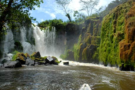
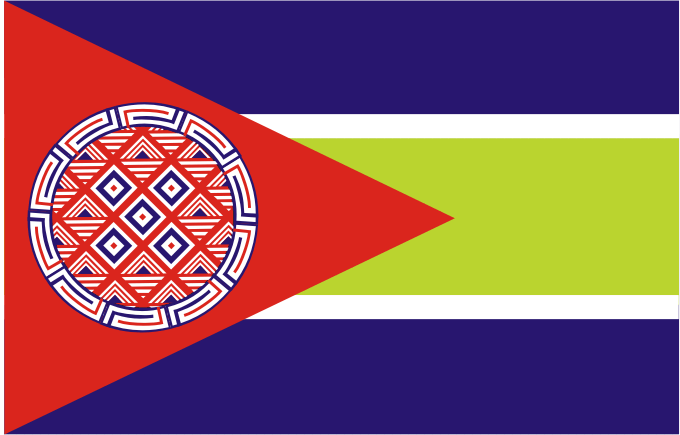
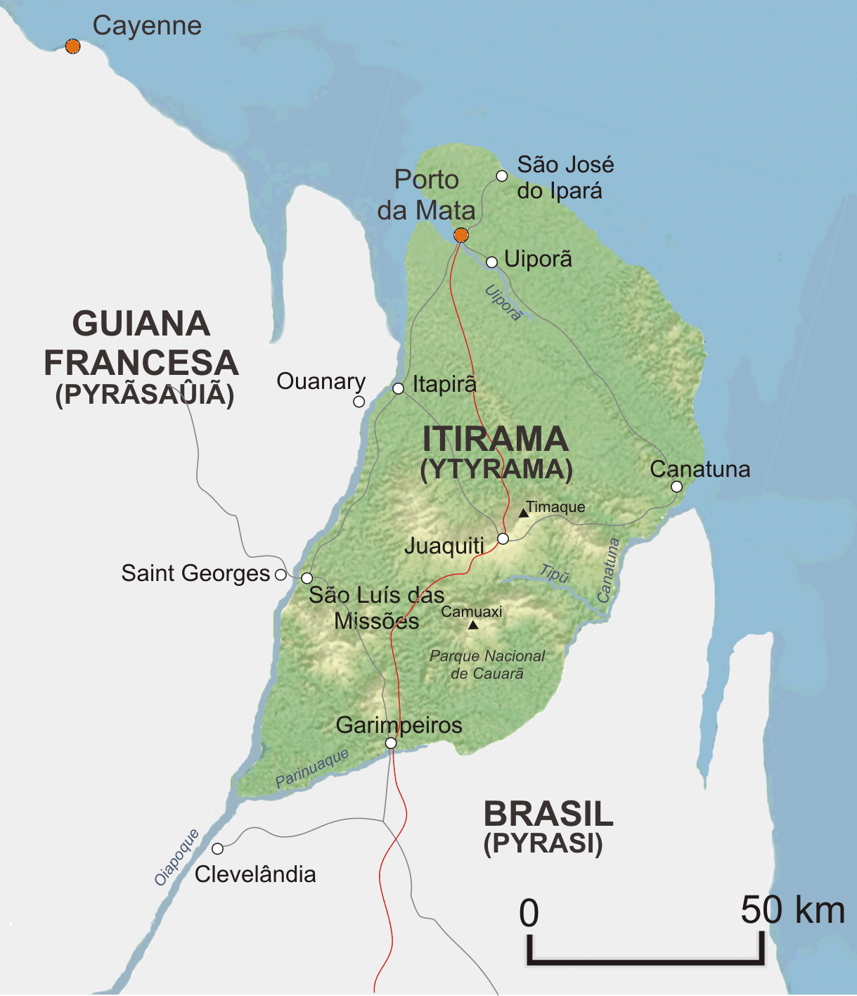
Ytyrama (previously Yutyrama) is a socialist republic located in the Amazon
rainforest, between French Guyana and the Brazilian state of Amapá. Its
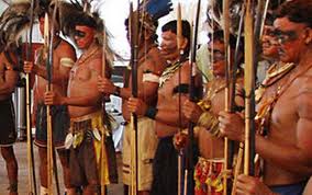
people
are proud of being descendant of Kawaran,
a people that lived in the sacred
mountains of Tumuk Humak. Ecotourism, a sustainable agricultural
production and native handicrafts are the basis of its economy.
Official name: República Democrática de Itirama -
Ytyrama Temĩatãtu Repuriká (Democratic
Republic of Ytyrama)
Origin of the Name: The name is derived of ywytyrama, the land of the “mountain people” (ywytyrawa),
in the Amazonian General Language.
Area: 6
827 km²
Population: 325,890 (2020)
Population Density: 48 inhabit./km²
Capital: Porto
da Mata
(107,513)
Important Cities: Garimpeiros, Uiporã, Itapirã,
São José do Ipará,
Juaquiti, São Luís das Missões, Caratuna
National
Park of Kawaran (1,692 km²)
Nationality: Ytyraman (itiraguara/ytyrãûá)
Languages: Portuguese (official, Caboquiró dialect),
Ytyraman (ytyrãjeẽ,
national language); Wayampi, Palikur (Arawak language), Carib (Cariban
language), French.
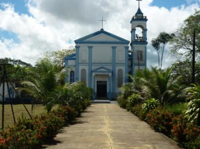
Religion: Catholic (majority), Tupanism
Local time: GMT -3
Climate: Tropical superhumid. Average temperature: 26.5ºC (Jan.
25.5ºC, Jul.
26ºC); Rain: 1070 mm yearly (dry season: Aug to Nov)
Highest
Mountain: Timaque (335 m)
Longer Rivers: Oyapock, Kanatuna, Uiporã, Tipun, Parinwak
Internet Code: .ym
International
Organizations: UN, OAS,
MERCOSUR, FICT
National
Anthem: Tupã ékatu ytysui aju ("I
came from the mountains blessed by God")
University:
Universidade Nacional de Porto da Mata (UNPM), 3,000 students
Newspapers:
A Voz do Oiapoque
(Porto da Mata), Caá Moranu
(Garimpeiros)
|
Fly to
Yutyrama by
|
|